- Ελληνικά
- English
Languages:
This site is created using Wikimapia data. Wikimapia is an open-content collaborative map project contributed by volunteers around the world. It contains information about 32844261 places and counting.
Learn more about Wikimapia and cityguides.
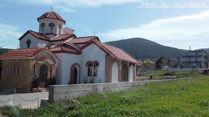
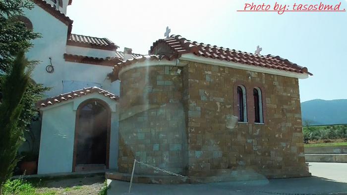
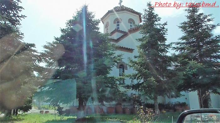
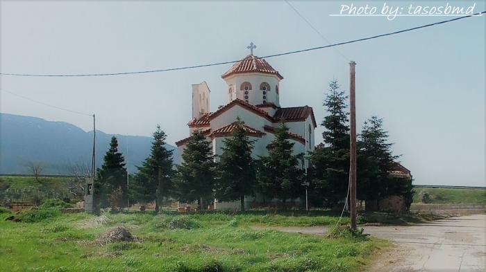
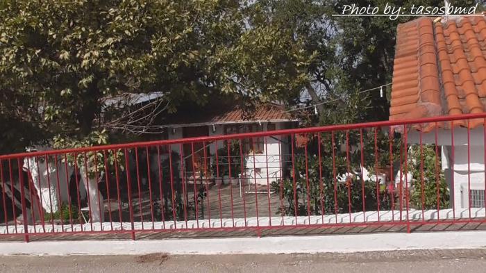
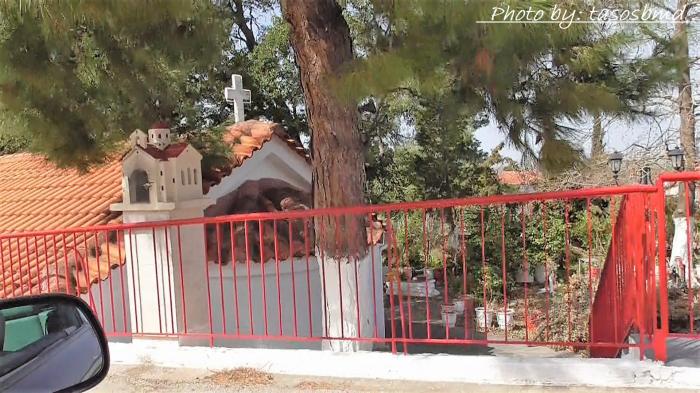
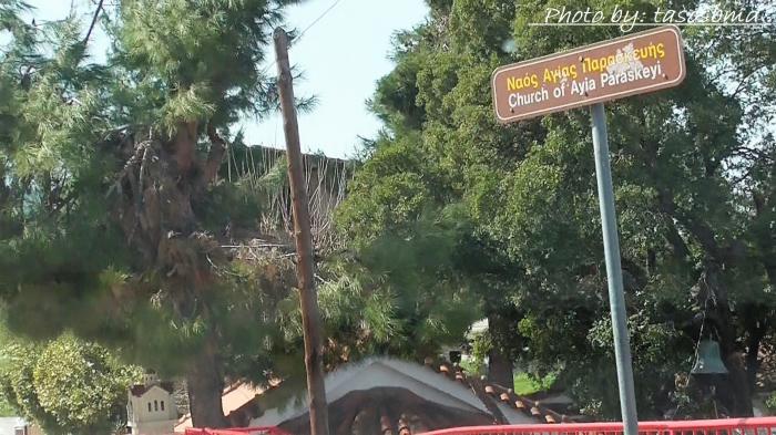
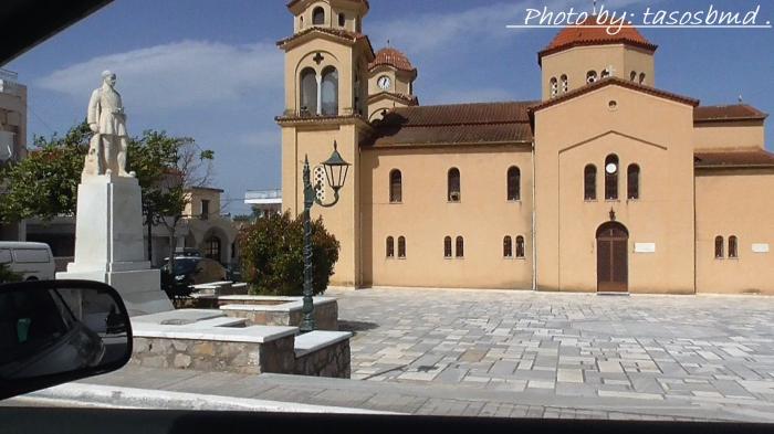
Erythres
Erythres (Erithres). Former name of the town: Kriekouki. (Greek: Ερυθρές), older forms: Erythrai, Erythre, Erithrai and Erithre is a municipality in the northernmost part of the Greek prefecture of West Attica, in Attica. It is also a suburb of Athens and one of the northwesternmost as well. Its geographical coordinates or location are 38 12.840 N and 23 19.310 E. The ancient city of Erythres is located to the north. Erythres is northwest linked with the road linking the GR-3 (Athens - Thiva), it has a junction a few kilometres north with roads linking to Dervenochori and villages of southern Viotia. The Asopos River flows to the north and also begins. The area around Erythres is mountainous to the south with part of it being the Kithaironas to the southwest and the Pastra to the southeast. Farmlands are situated in the valley areas. The Drios Kefalies lies to the southeast. Erythres is located northwest of Athens and Elefsina, ENE of Corinth and south of Thiva.
Wikipedia article: http://en.wikipedia.org/wiki/Erythres
Erythres (Erithres). Former name of the town: Kriekouki. (Greek: Ερυθρές), older forms: Erythrai, Erythre, Erithrai and Erithre is a municipality in the northernmost part of the Greek prefecture of West Attica, in Attica. It is also a suburb of Athens and one of the northwesternmost as well. Its geographical coordinates or location are 38 12.840 N and 23 19.310 E. The ancient city of Erythres is located to the north. Erythres is northwest linked with the road linking the GR-3 (Athens - Thiva), it has a junction a few kilometres north with roads linking to Dervenochori and villages of southern Viotia. The Asopos River flows to the north and also begins. The area around Erythres is...
 Reduce description
Erythres on the map.